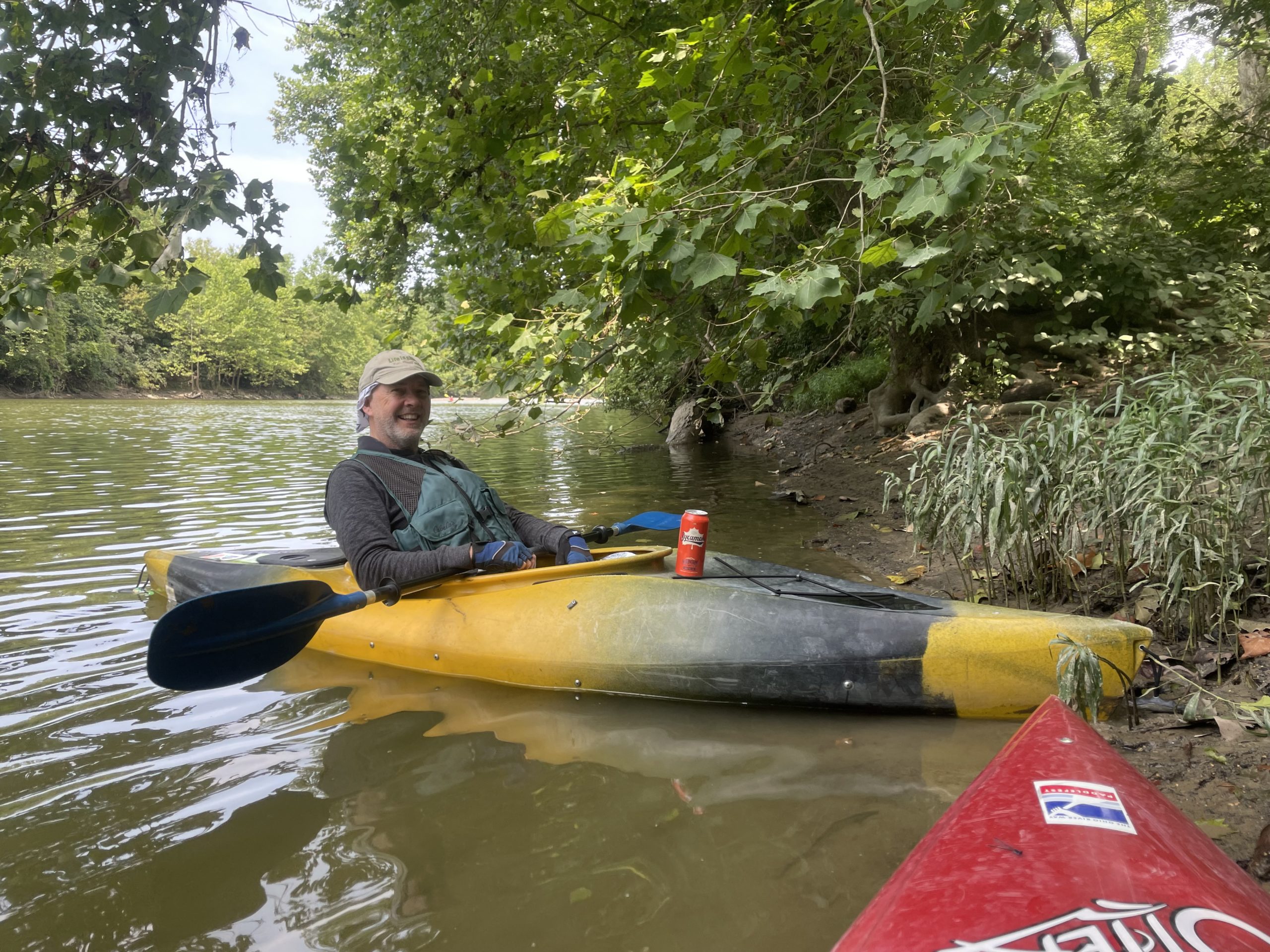
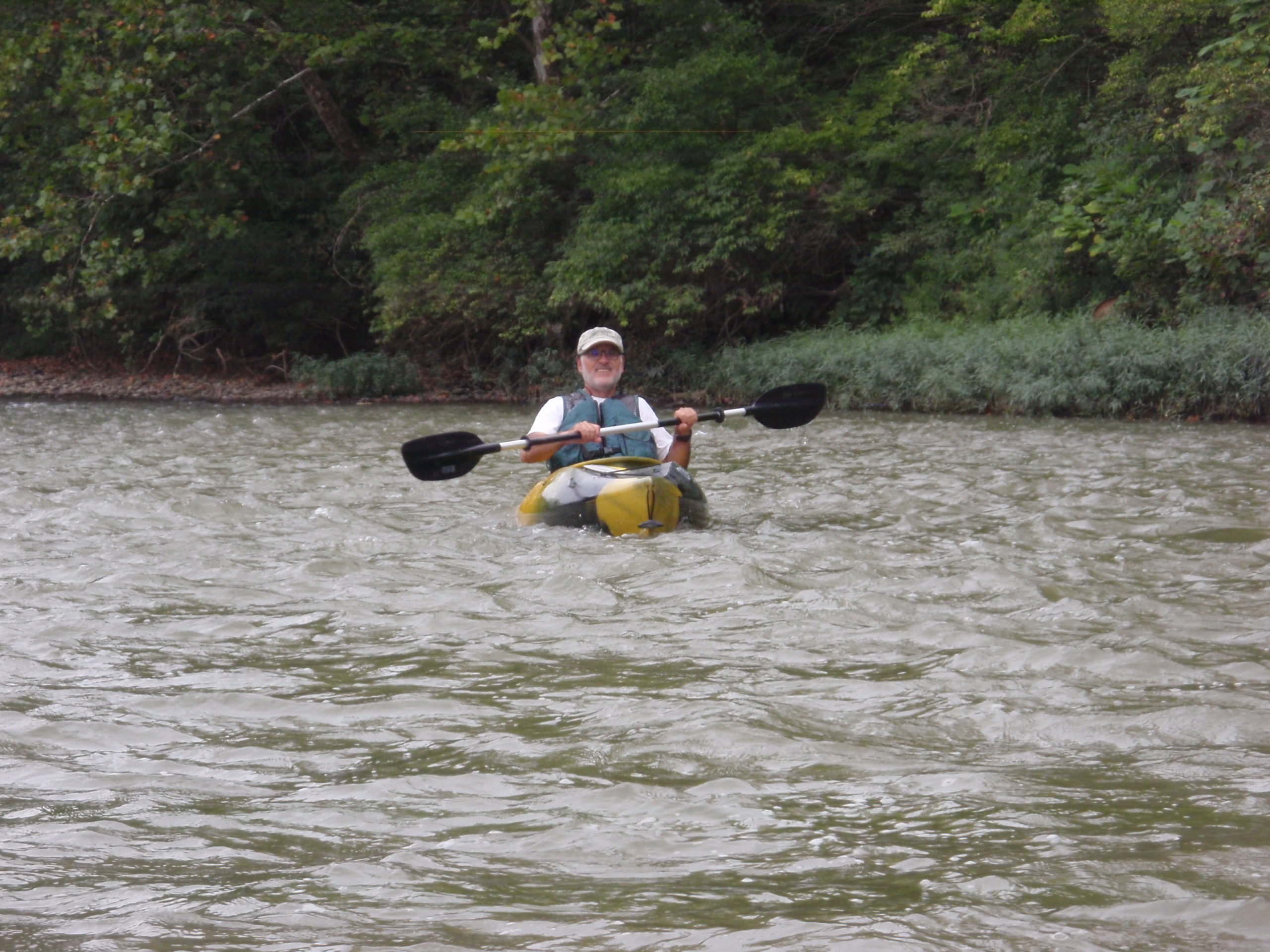
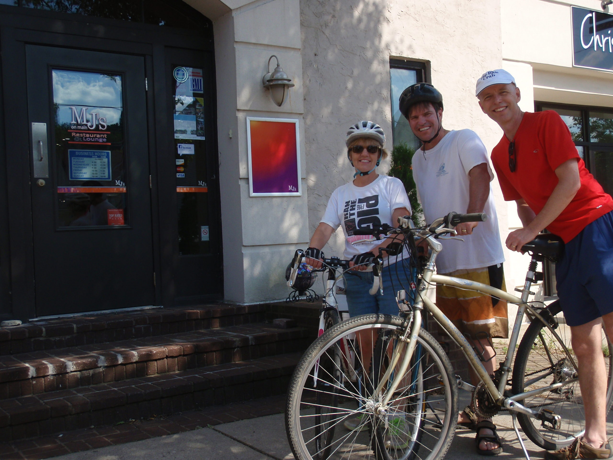
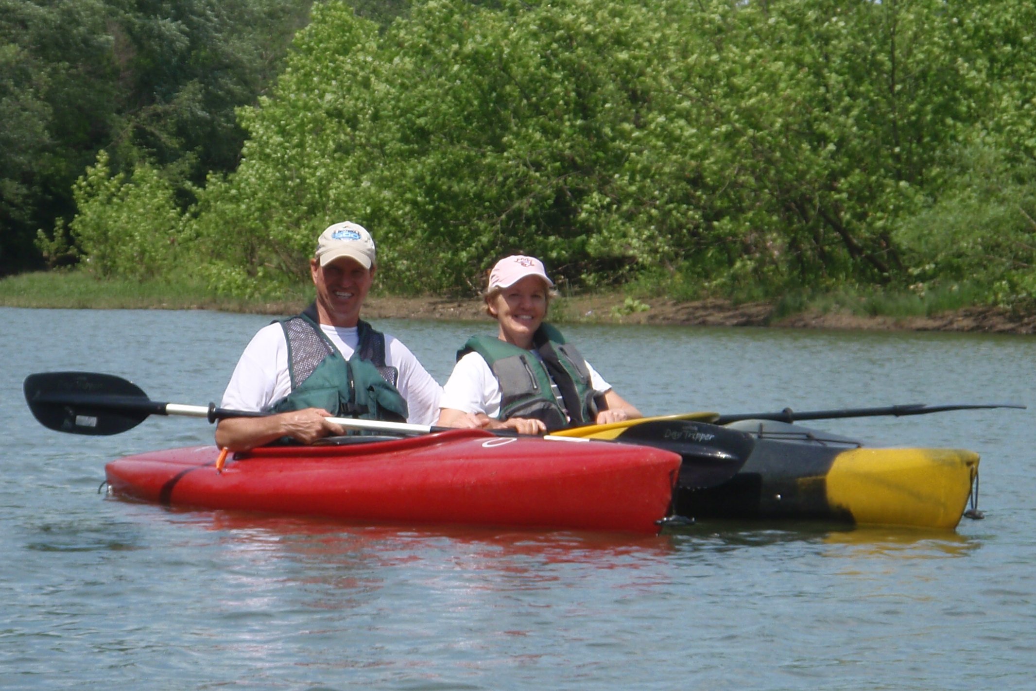
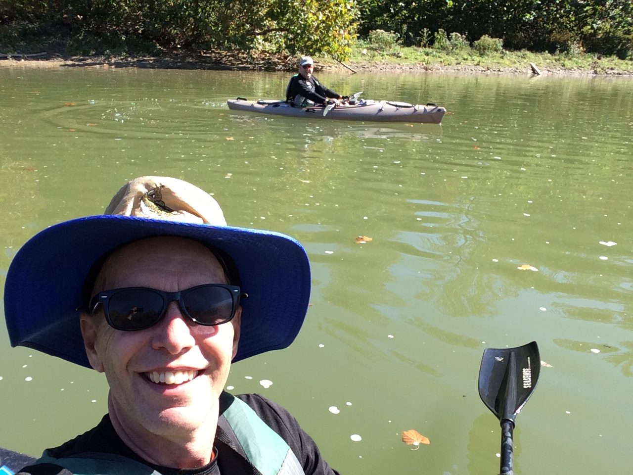
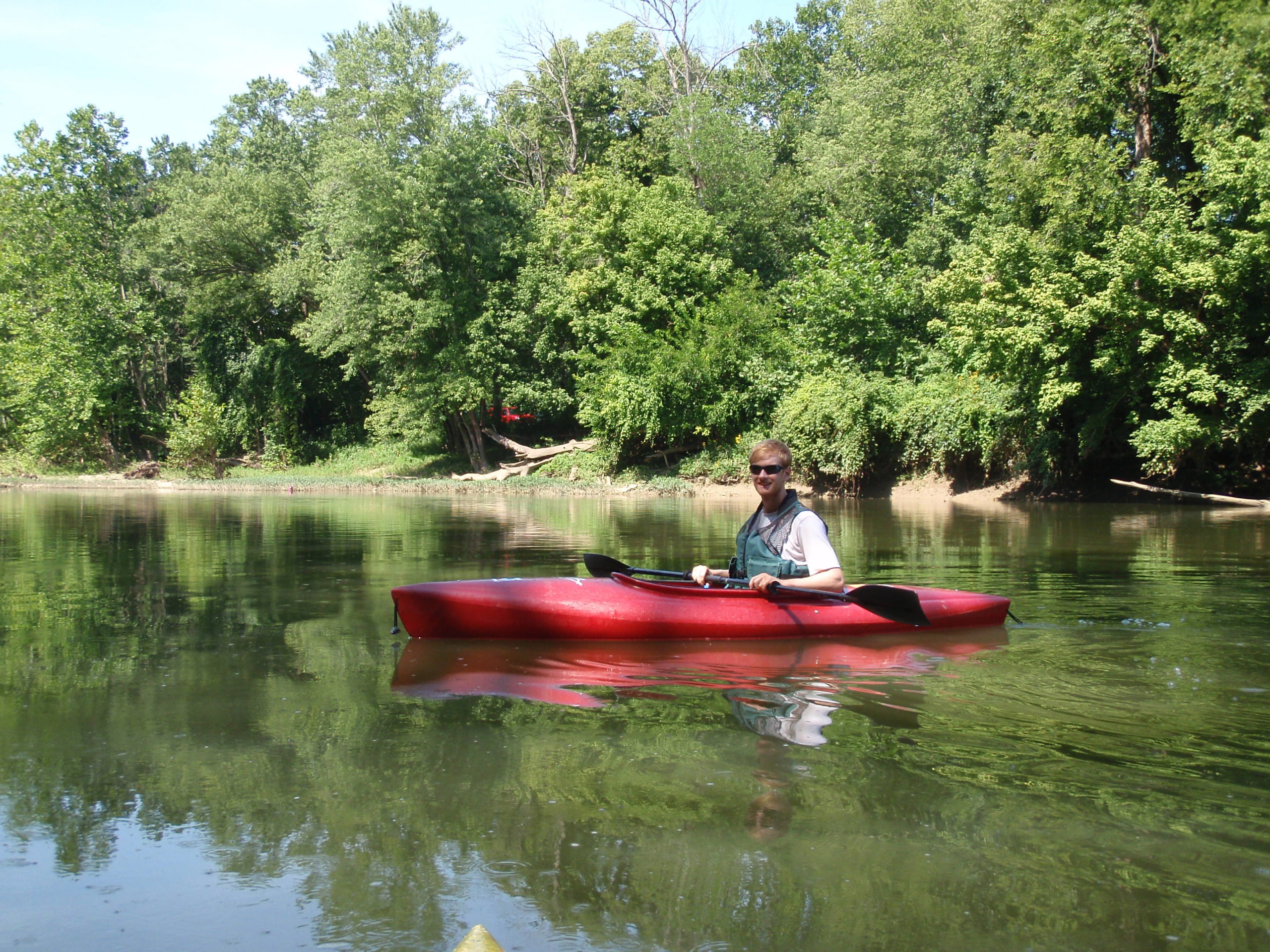
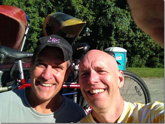
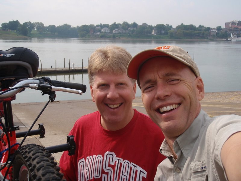
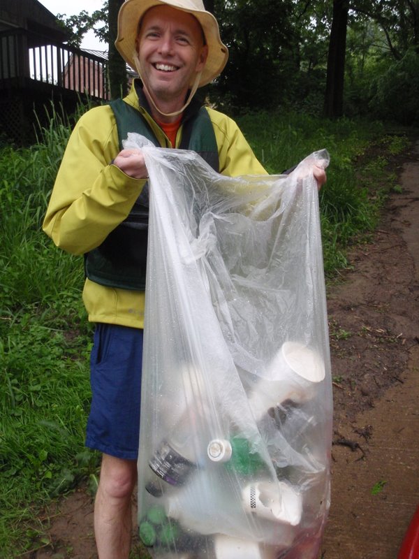
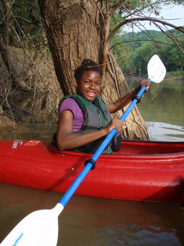
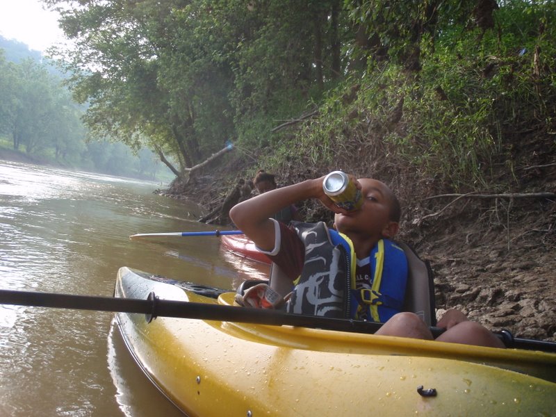
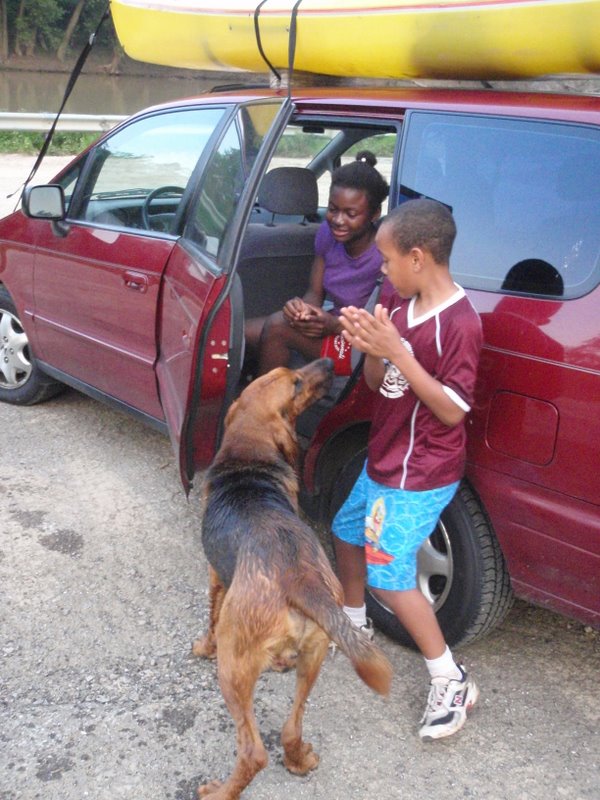
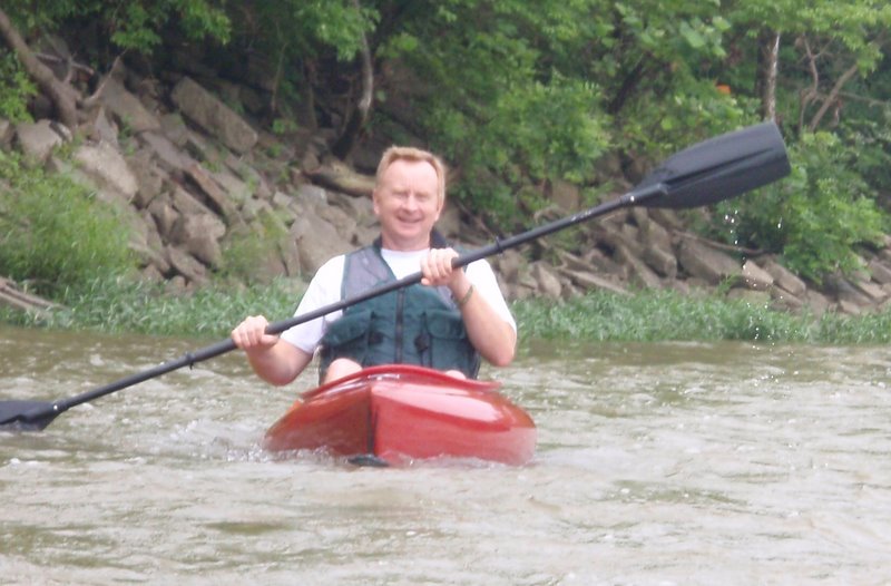
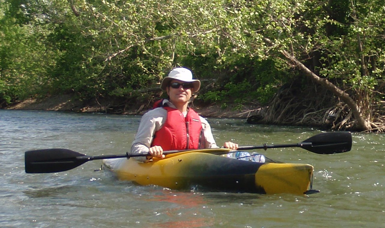
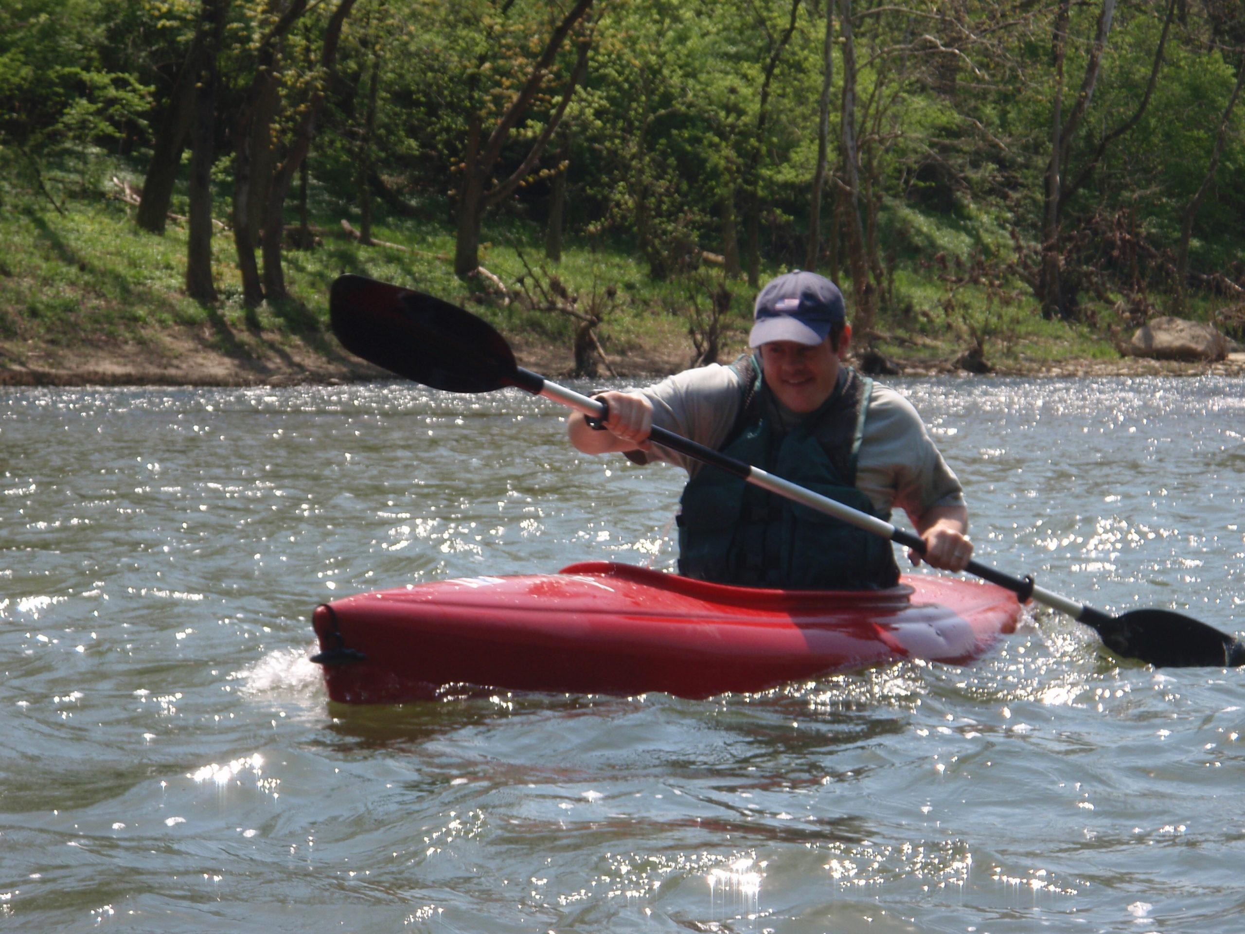
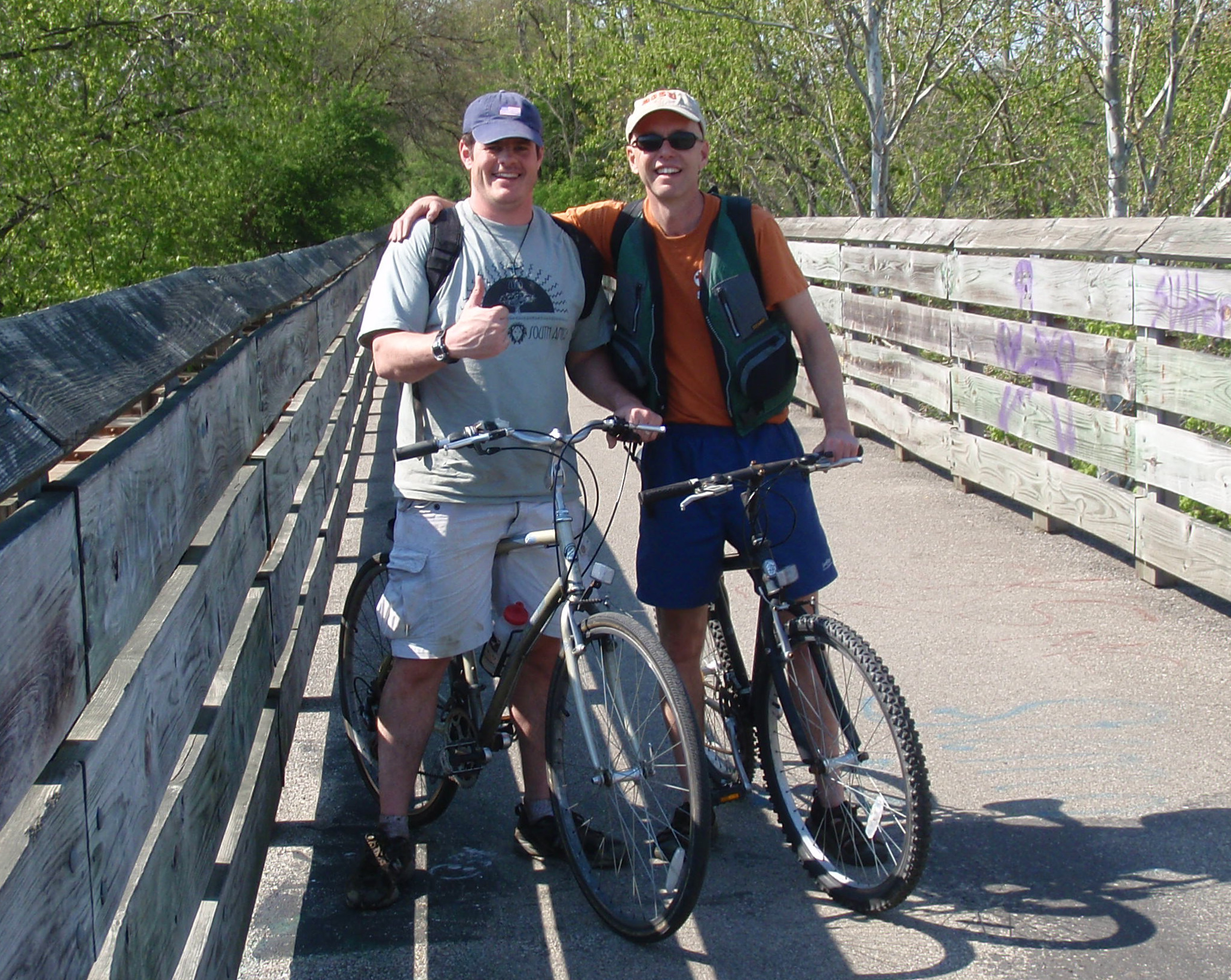
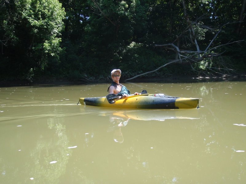
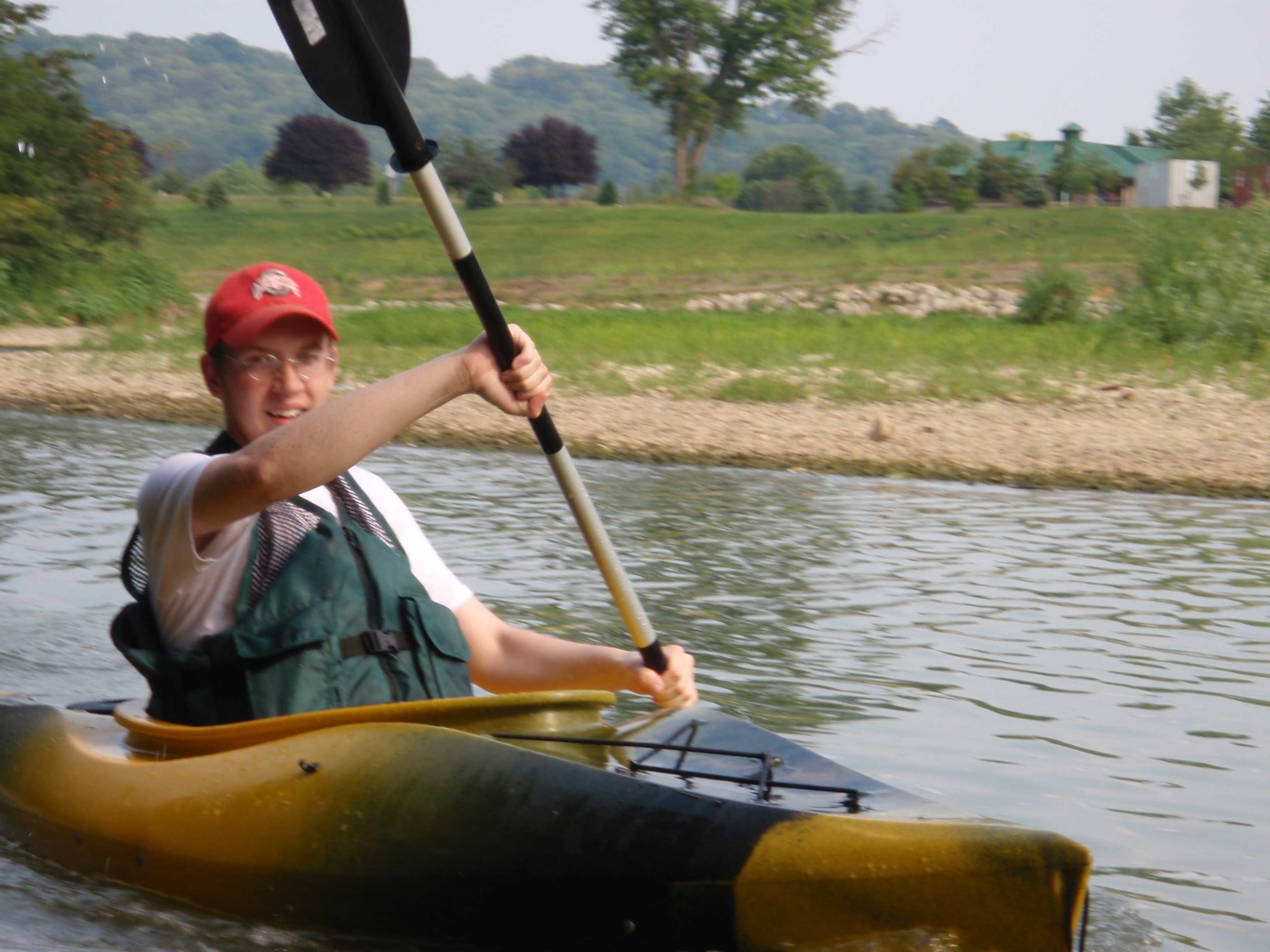
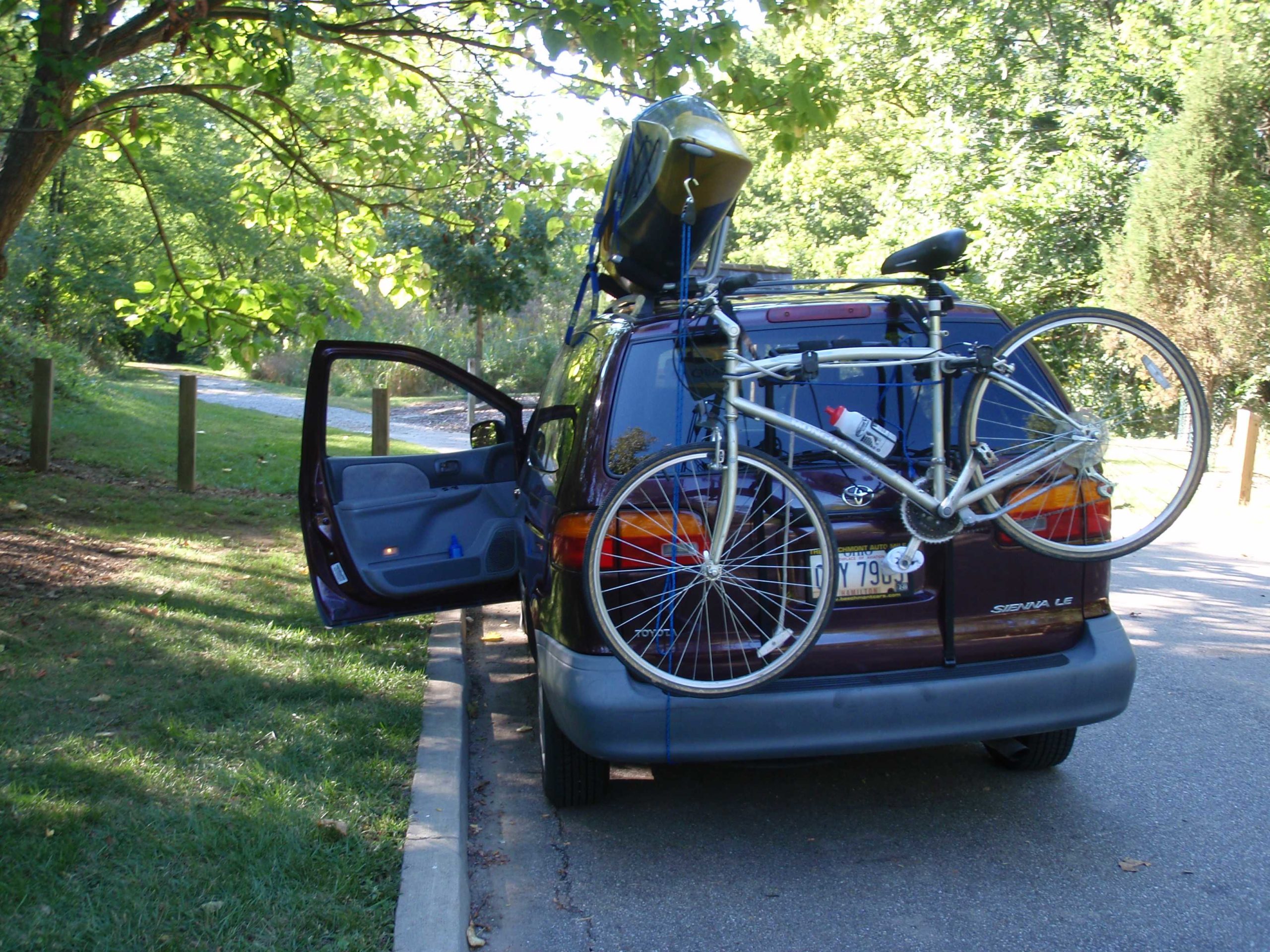
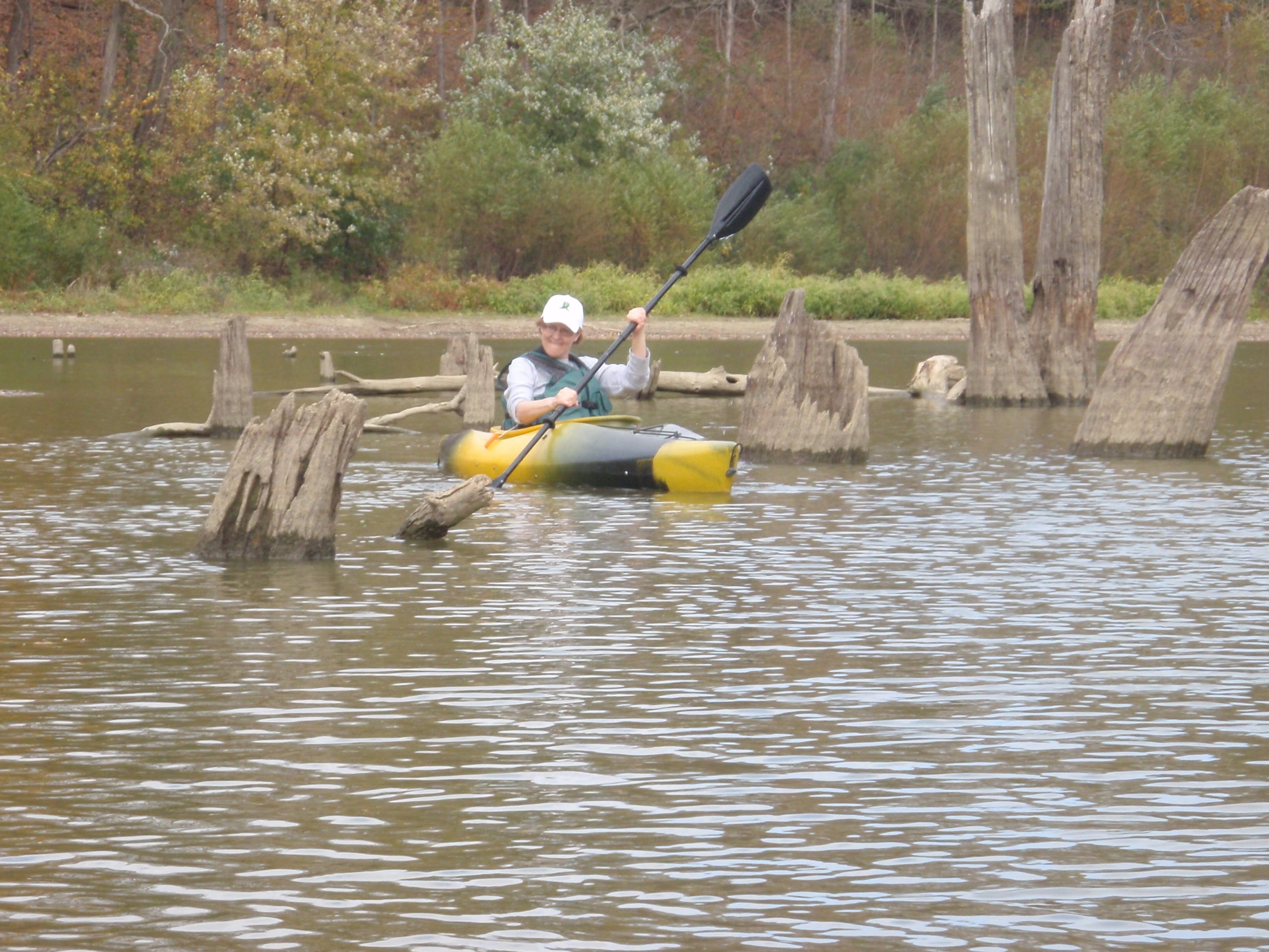
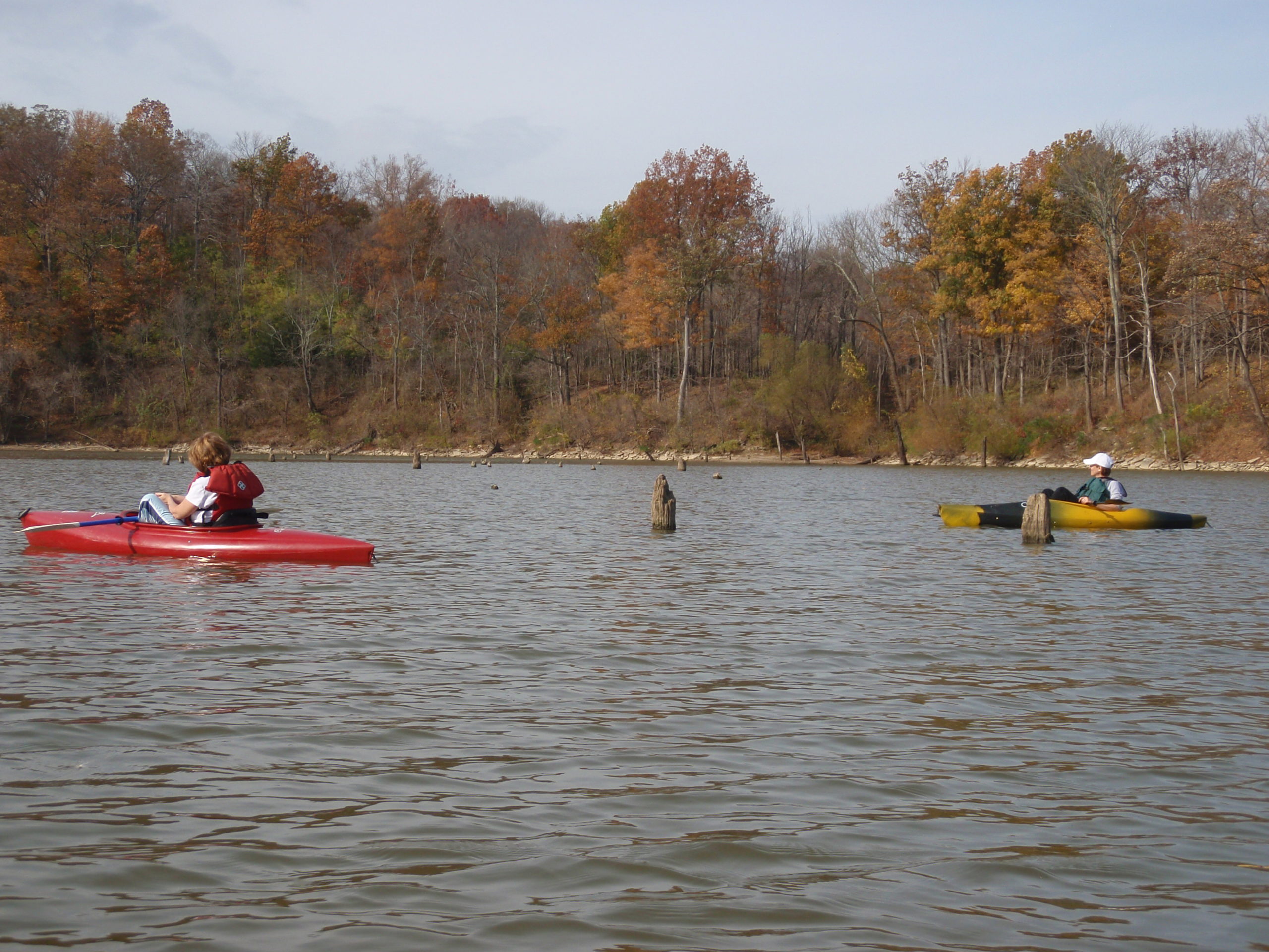
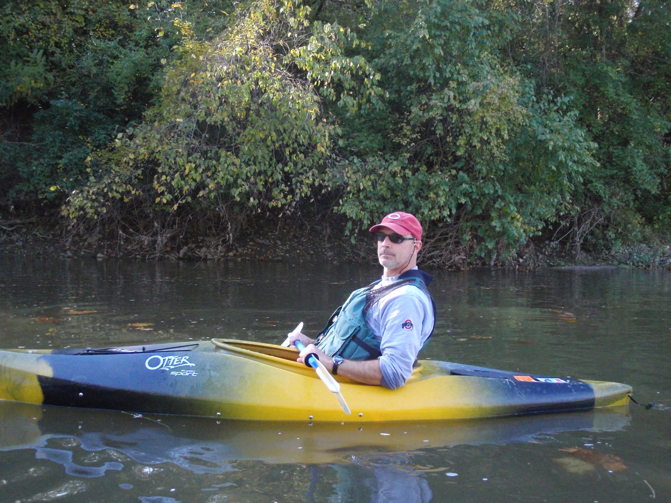
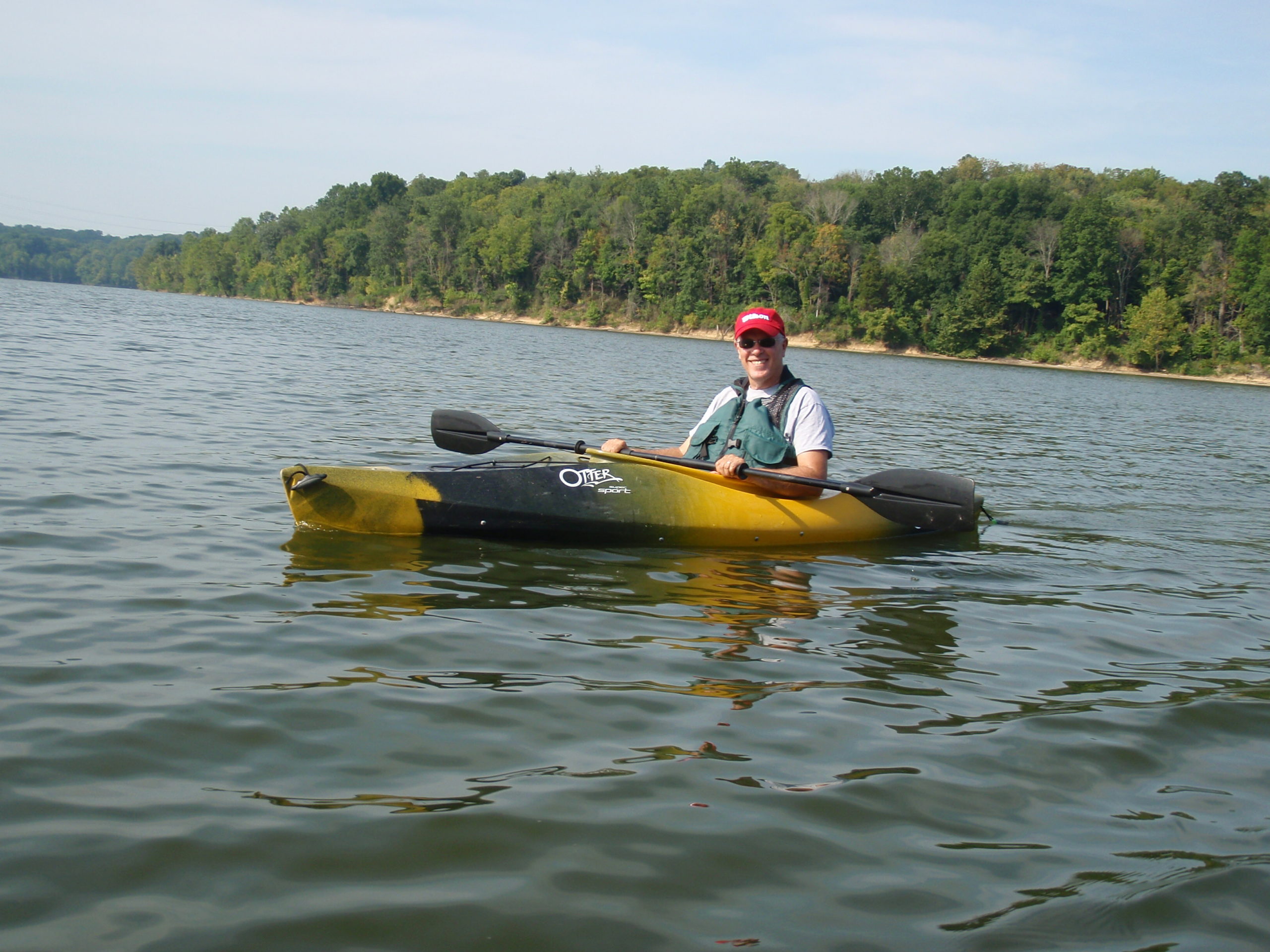
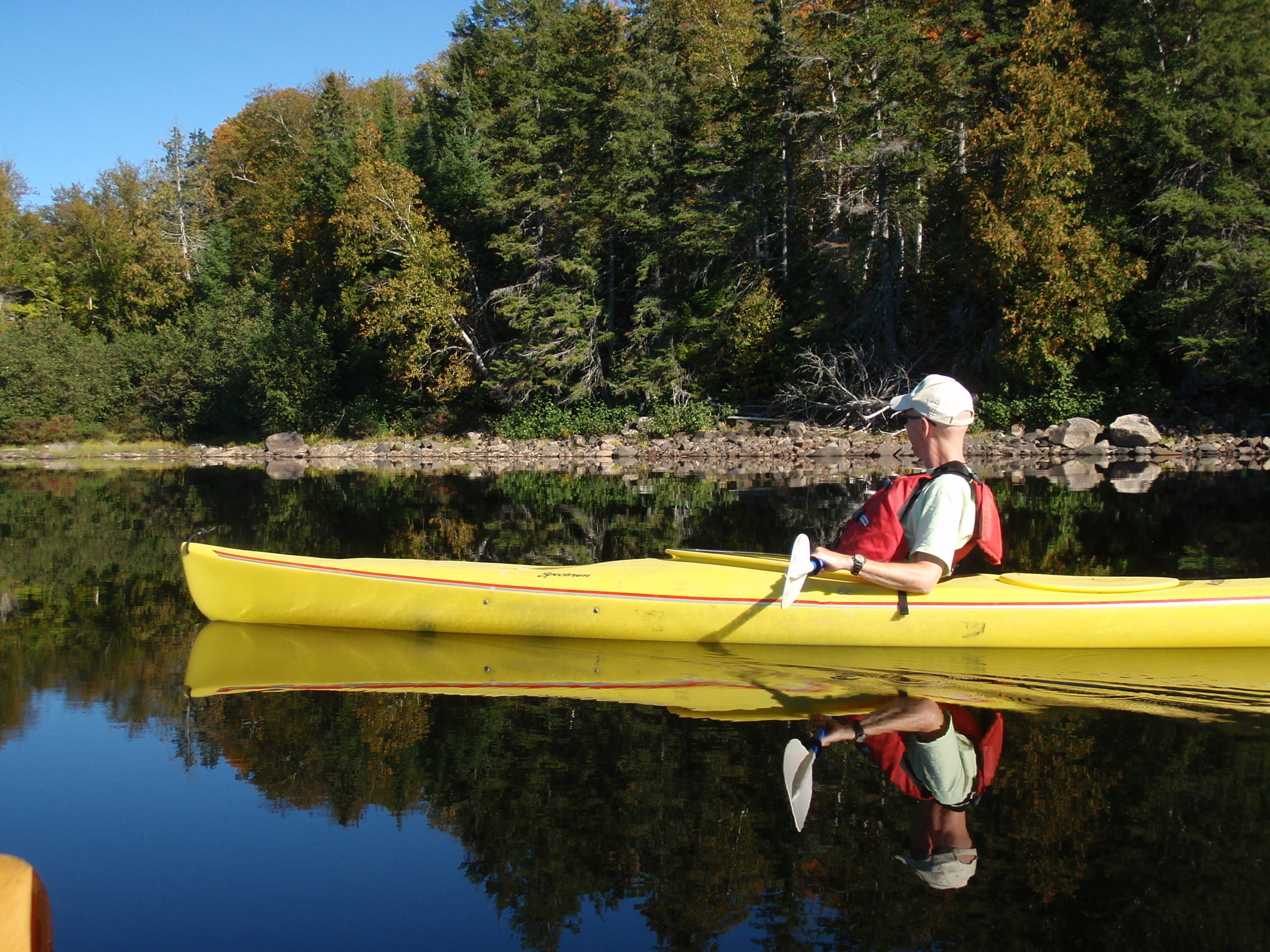
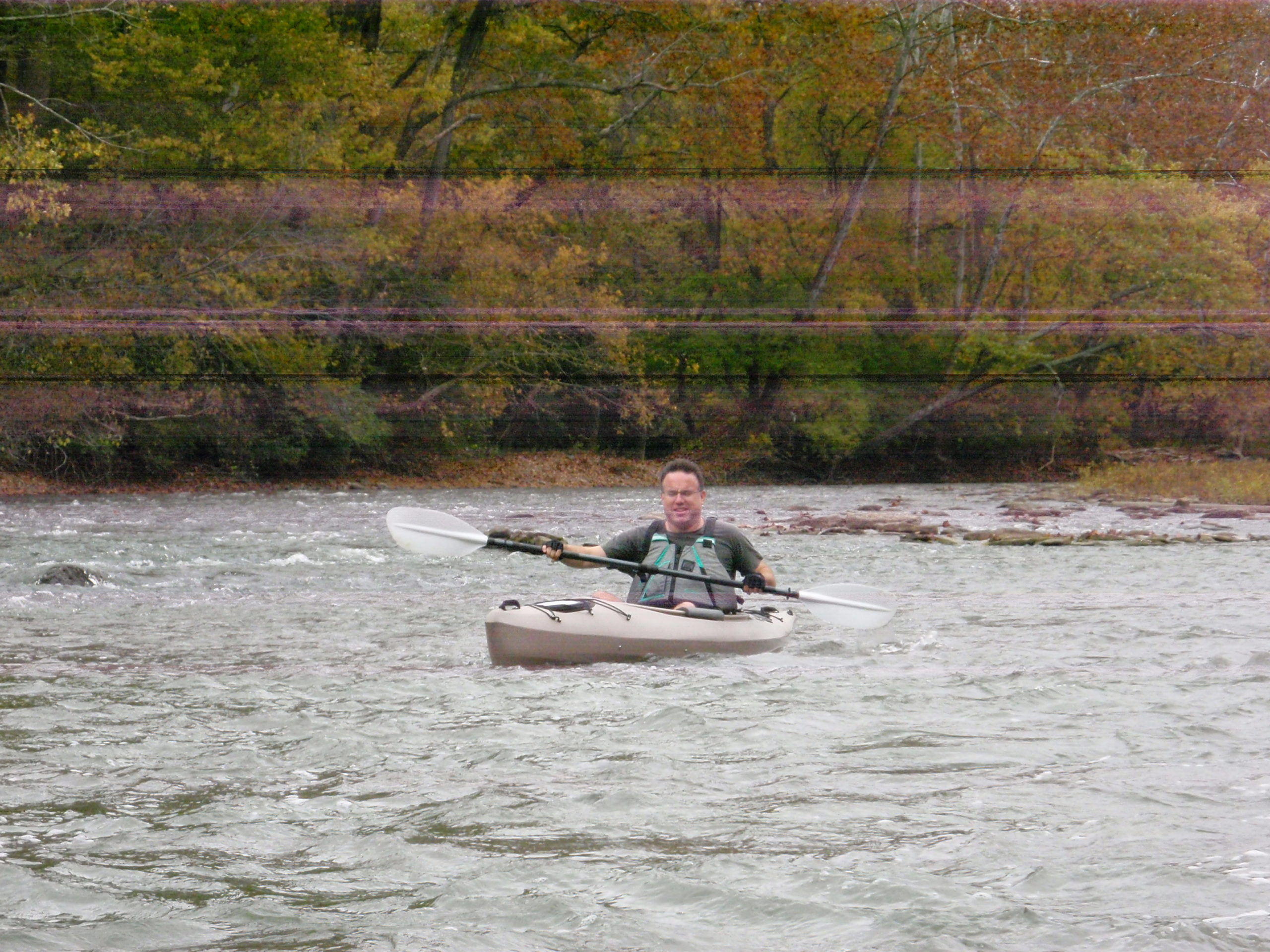
Kayabiking is a term Steve & Andy Long started using in the 1990s to describe their practice of using one gas-powered vehicle to float streams in the Cincinnati area. It’s a relatively simple idea
- Take bikes, leave them at our river take-out and lock them there
- Drive kayaks upstream and start the adventure
- At take-out, unlock bikes, lock kayaks at that location
- Bike back up to vehicle
- Drive down to pick up kayaks
- [REPEAT AS FREQUENTLY AS POSSIBLE! 🙂 ]
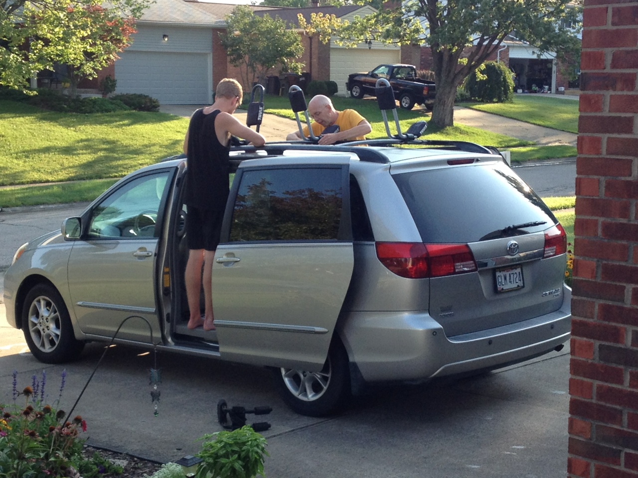
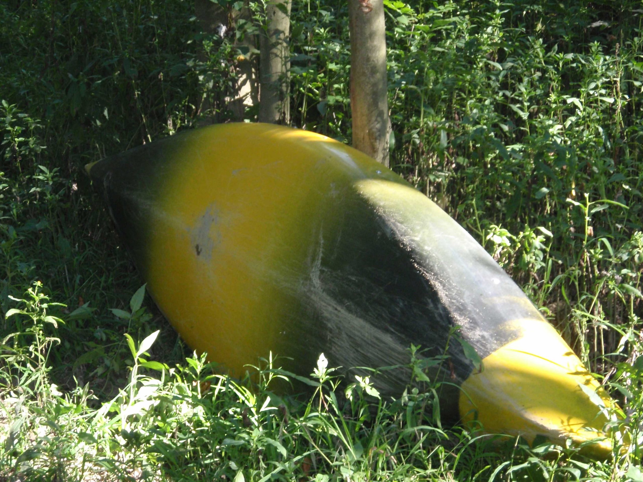
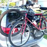
Here’s a picture of the van “ready for action” – 2 kayaks inside (bumble bee down upright and red hot upside down on top) with 2 bikes on the back
KAYABIKING SITES AND MATERIALS
Little Miami River – resources
- The Loveland Bike Trail folks share good updates on trail availability HERE
- O’Bannon Bridge in Loveland open as of June 2024
- CHECK WEBLINK ABOVE WHEN GOING TO NEW TERRITORY!!!
- Interactive Trail Map – Friends of the Little Miami
- Water levels near Milford
- Bike Trail Yellow Springs to Xenia
- Bike Trail Beavercreek to Xenia
- Directions to Bass Island in Newtown
- Scenic River Excursions – Newtown, OH
- LittleMiamiStatePark.org – Friends of the Little Miami State Park
- Trail Map – Miami Valley Trails (incl. Little Miami, but not very complete!)
- Water safety along the Little Miami River
- River Access Points – good overall map from Morrow to Ohio River is HERE and from Spring Valley to Loveland HERE)
- Magrish Preserve (1.5 miles to Ohio River)
- Otto Armleder
- Bass Island – part of Little Miami Golf Center (8.1 miles to Ohio River)
- Jim Terrell (11.5 miles to Ohio River)
- Kelley Nature Center (16.2 miles to Ohio River)
- Lake Isabella
- Loveland
- Foster
- Driving Directions
- Magrish to Bass Island HERE
East Fork State Park – An excellent location for wildlife and fishing – see MAP HERE or go to their website
- Main boat launch for park is nice but the motor boat traffic can be substantial, especially on the weekends
- Reisinger Road Launch – power boat launch but more remote than the main launch. Functional restrooms here (NOT flushable toilets – you get the idea, right?) 🙂
- Tunnel Mill Ramp – hard to find (NO SIGNS so see MAP HERE) but worth it if you want to kayak or canoe in a remote section of the lake. No restrooms at this location other than the great outdoors
Great Miami River – resources
- Great Miami Riverway has some excellent resources
- The Miami Conservancy District website has some good Great Miami information
- Download .pdf maps of the river and the maps they send for free are nice poster-size maps.
- Oxbow site near Lawrenceburg, IN (map HERE)
Maumee River – resources
- Maumee River Water Trail | Metroparks Toledo
- maumee-waterway-brochure-031318-web.pdf
- Maumee River @ Waterville, OH – water height
Other Good Locations
- Kentucky Palisades
Paddling.net Places to Paddle
Licking River – Wilderness Trails in Ryland Heights - Toccoa River in northern Georgia (Daryl Kn. reference)
Packing Lists
Water Level Data from USGS – anything over 300 cfs (cubic feet per second) is a cut-off for going into the water for stream monitoring
- Little Miami near Milford – water levels
- Maumee River near Waterville – water levels
- American Whitewater
Excellent weather radar for checking what weather will be like for your kayabiking efforts HERE
Launch sites – Go Paddling is a nice app for finding paddling launch sites (iphone here)
